-40%
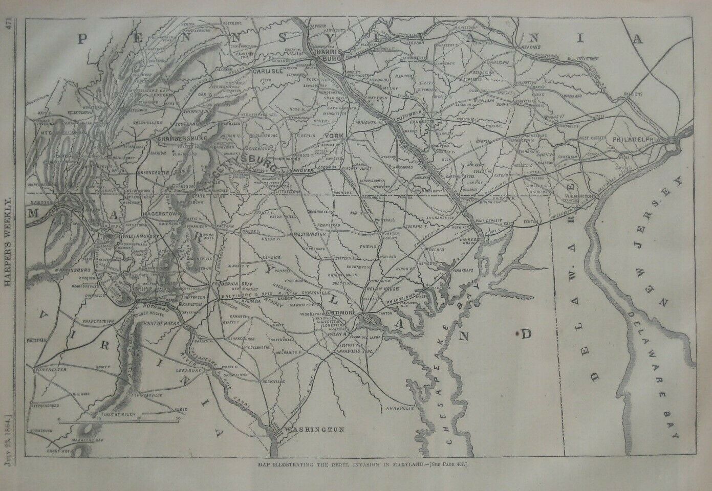
Original 1864 Civil War Map REBEL INVASION IN MARYLAND Hagerstown Harpers Ferry
$ 13.19
- Description
- Size Guide
Description
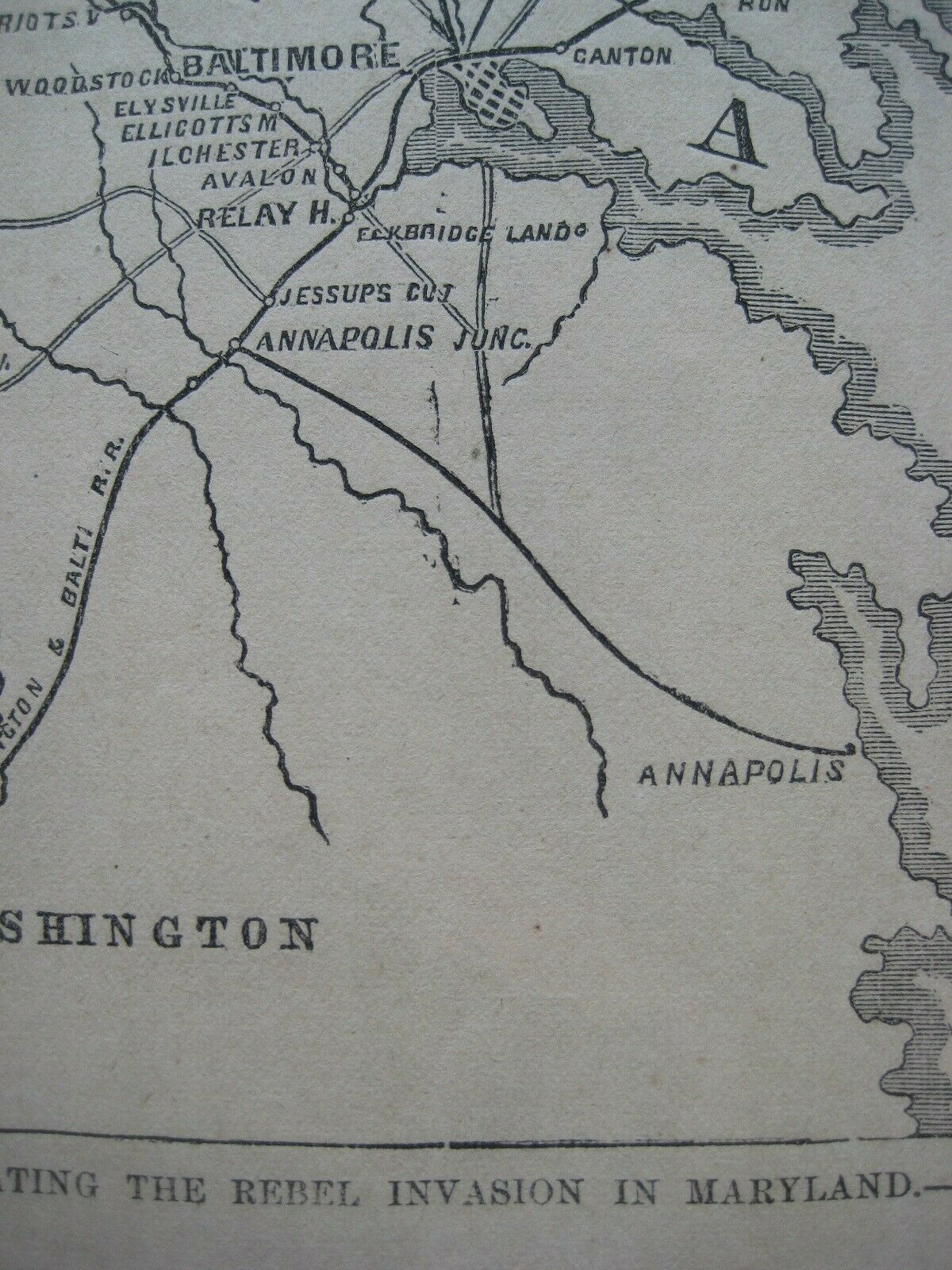
Original 1864 woodblock engraved map of Maryland and the adjoining parts of Virginia and Pennsylvania, printed more than 155 years ago.The coverage area extends from Winchester to Delaware Bay, between Harrisburg and Washington, D.C., and details include roads, railroads, canals, cities, and towns.
Among the named places and features are General Meade's Headquarters at Gettysburg, the Baltimore & Ohio Railroad, Carlisle, York, Chambersburg, the Susquehanna & Tidewater Canal, Annapolis, Potomac River, Funkstown, Union Mills, Westminster, Havre de Grace, Cumberland Valley Railroad, Antietam Creek, Leesburg, Timonium, New Market, Harpers Ferry, and Hagerstown.
The map was published in the July 23, 1864 edition of
Harper's Weekly,
shortly after the the Battle of Monocacy near Frederick, Maryland in the third and last major Southern invasion during the Civil War.
The image area measures 23.5 x 35.6 cm [9¼" x 14"], and the map is titled in the lower margin:
Map Illustrating the Rebel Invasion in Maryland.
Condition:
It is in
excellent condition,
bright and clean, with
no
marks, rips, or tears. Please see the scans and feel free to ask any questions.
It is an
original
, authentic antique map,
not
a reproduction or modern reprint, and it is fully guaranteed to be genuine.
Buy with confidence! We are always happy to combine shipping on the purchase of multiple items — just make sure to pay for everything at one time, not individually.
Powered by SixBit's eCommerce Solution
